This report from last year looks like the same thing: https://fox40.com/news/california-connection/california-residents-witness-fiery-activity-in-the-sky-heres-video/
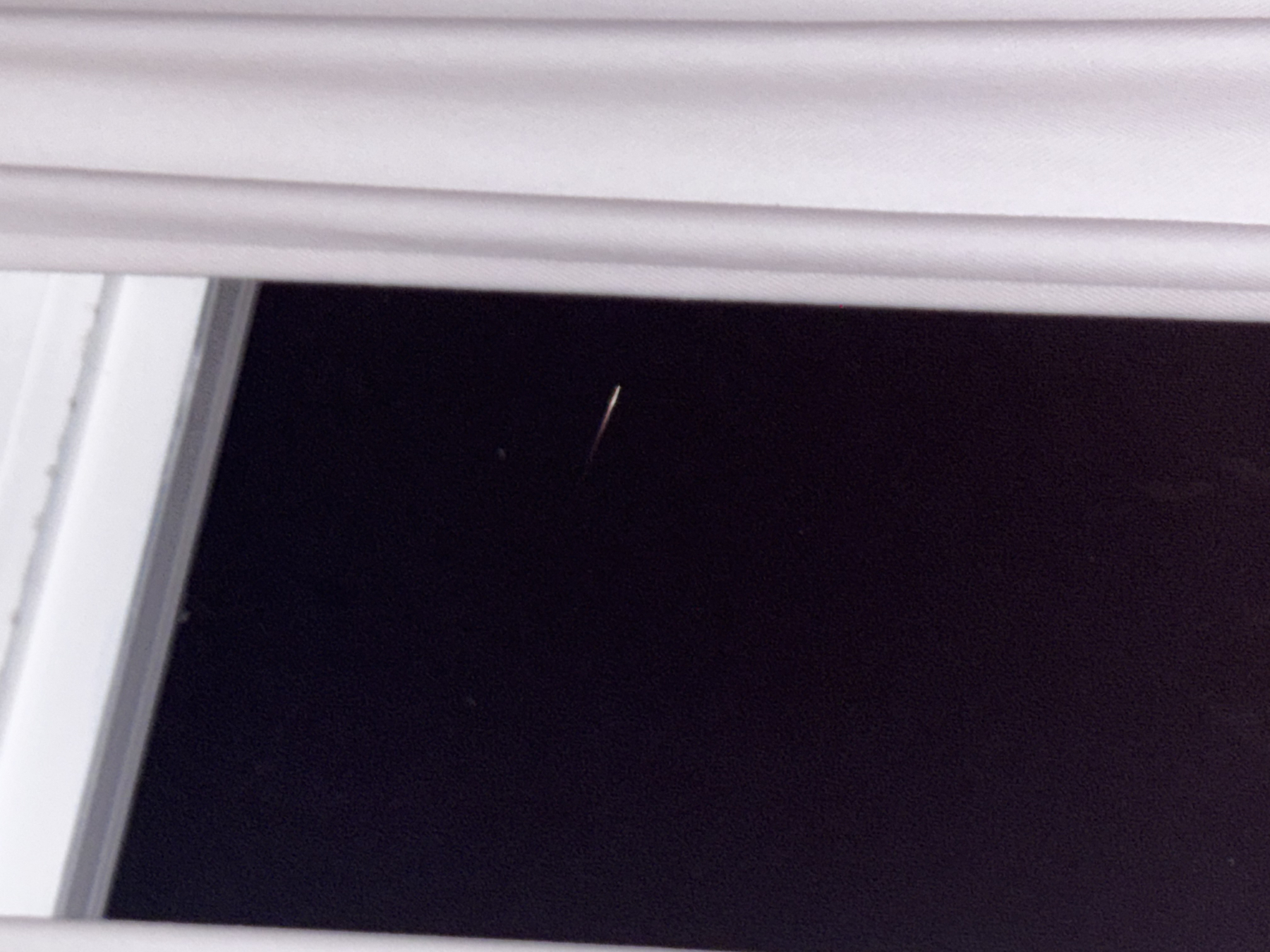
Photo
Location
Address
San Rafael, CA
Latitude
38° 1' 42.48'' N (38.028467°)
Longitude
122° 34' 16.35'' W (-122.571207°)
Elevation
45.225079m
Time and Duration
Local Date & Time
2026-06-10 01:43 PDT
UT Date & Time
2026-06-10 08:43 UT
Duration
≈45s
Direction
Moving direction
From up left to down right
Descent Angle
111°
Moving
Facing azimuth
130.04°
First azimuth
103.47°
First elevation
20°
Last azimuth
155.63°
Last elevation
15°
Brightness and color
Stellar Magnitude
-11
Color
Orange, Red, Brown
Concurrent Sound
Observation
No
Remarks
-
Delayed Sound
Observation
No
Remarks
-
Persistent train
Observation
Yes
Duration
3s
Length
7°
Remarks
Diminishing trail that starts as white, then red, then orange, the dark red.